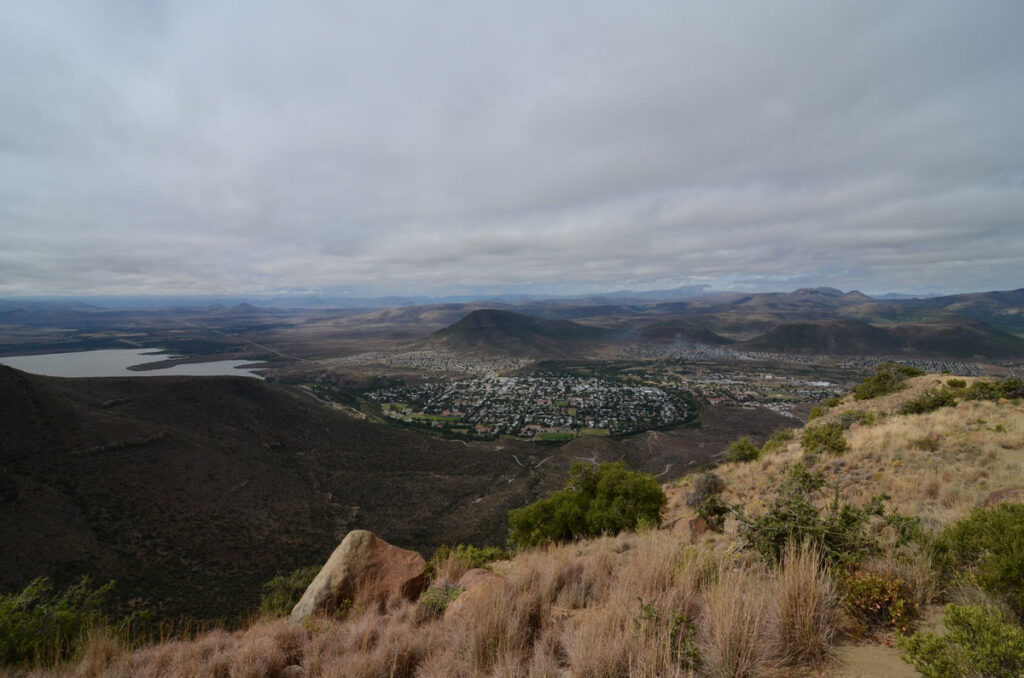
A Swarm of Earthquakes in South Africa’s Karoo Basin Poses Questions for Oil and Gas Development
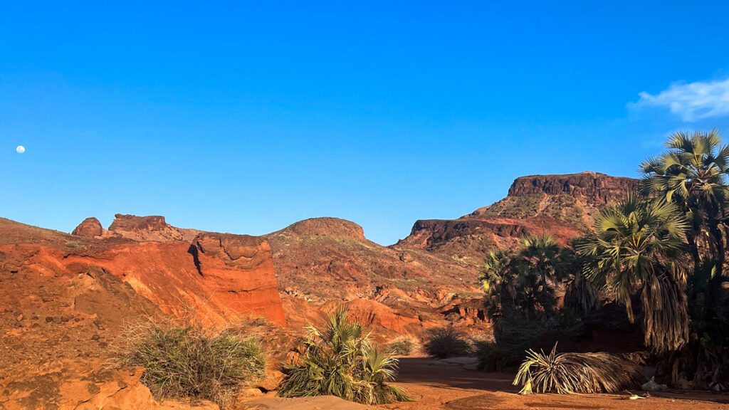
Roughly the size of Texas, the Karoo Basin of central western South Africa is brutally dry, sparsely populated, and known in part for its potentially “massive” hydrocarbon deposits.
South Africa, which consumes more energy than any other country in sub-Saharan Africa, has shown a growing interest in commercial fracking for shale gas and oil across the Karoo hinterland, with the country moving in late 2025 to lift a 13-year ban on shale gas exploration in the area.
However, a recent study from the University of Cape Town, published in Seismological Research Letters, cautioned that the Karoo might not be as seismologically calm as it appears, meaning fracking efforts could have the potential to induce earthquakes in the region.
A Swarm of Earthquakes
The researchers observed 66 earthquakes in this cluster between 2007 and 2022, ranging from 0.7 to 4.8 in magnitude.
The researchers investigated what they call a sudden swarm of earthquakes that occurred in the Leeu Gamka cluster, a region of the Karoo that was previously considered seismically stable. They observed 66 earthquakes in this cluster between 2007 and 2022, ranging from 0.7 to 4.8 in magnitude.
“The individual earthquakes here are very small,” said Alastair Sloan, a tectonics and structural geologist at the University of Cape Town.
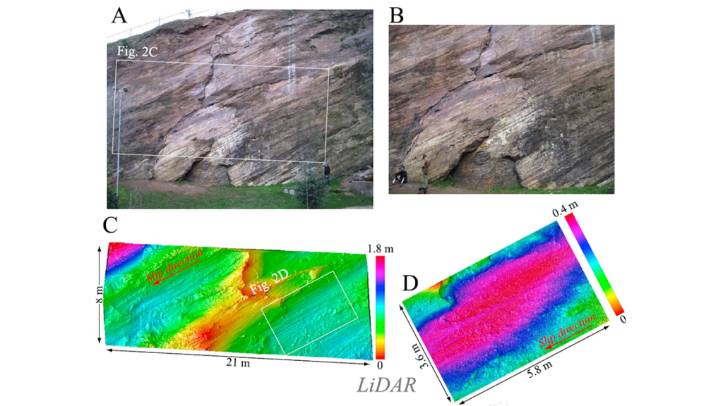
Using ambient noise tomography, previous geophysical surveys, and information about the locations of past earthquakes, the researchers identified a critically stressed fault underlying the region. The fault appears to extend for at least 30 kilometers roughly west-northwest to east-northeast.
Looking at South Africa more generally, there are other places where there have been “fairly large” earthquakes with a similar orientation, Sloan said. He cited a series of large earthquakes in the early 20th century in a place called Koffiefontein, north of the study area, and the disastrous 1969 Tulbagh earthquake, west of the team’s study area.
Both of those earthquakes occurred in regions that are geologically similar to the Karoo, though they’re outside of the area being considered for shale gas exploration, Sloan said.
Fracking Risks?
In other parts of the globe, such as Oklahoma in the United States, processes related to oil and gas extraction have led to “induced earthquakes.” Most of these earthquakes have been triggered by wastewater disposal associated with oil production, not by fracking directly.
Researchers are unsure if industrial fluid injection in the Karoo, as is applied in shale gas fracking processes, could trigger significant seismic action in the region’s existing faults.
“Some locations which undergo shale gas development don’t see very much seismicity, and there is a catalog of things which need to be present for [seismicity] to be something that you would particularly worry about,” Sloan said.
For instance, if faults are only within the crystalline basement and therefore separated from the sedimentary layers where the fracking occurs, then it’s not likely they’ll be reactivated, because there’s no way for the fracking fluid to get down to the fault zone itself. Another factor, Sloan added, is that for significant earthquakes to occur, large faults that are already critically stressed need to be present in the region undergoing fracking.
The new study showed that both of these conditions may be met in the Karoo: Microseismicity does extend to the depths at which the carbonaceous shale is present. And this microseismicity is occurring on a reasonably extensive structure with a similar orientation to larger earthquakes that have already occurred in the region.
However, Sloan stressed, this isn’t a cause for immediate panic.
“I don’t want to be too alarmist; the size of the structure revealed by the microseismicity is not huge, and so we do not have evidence to expect an earthquake much larger than the damaging historical earthquakes that we have already seen in the wider region,” he said. “Globally, large earthquakes triggered by fracking (rather than associated deep wastewater exposure) are very rare, but the study suggests the necessary preconditions are present. And so the possibility needs to be considered and monitored carefully.”
Not Unique
Raymond Durrheim, a geoscientist and the South African Research Chair in Exploration, Earthquake and Mining Seismology at the University of the Witwatersrand, and who also examined the Ph.D. thesis on which the new study is based, said no area is perfectly seismically quiet.
“We know the way seismicity works in this whole area of southern Africa is that swarms occur,” he said. “They’ll last for years or even decades, and then they’ll die away. This is not a unique occurrence.”
This study was “useful,” though, Durrheim added, especially with the possibility of shale gas development in the Karoo. “It’s very important that we understand this because we know that when you inject fluid under high pressure, there’s always a chance you could trigger an earthquake,” he said, noting examples of fluid injection triggering earthquakes in places such as Canada. “It’s always a risk.”
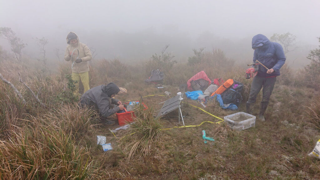
To mitigate risks, Sloan suggested it would be useful to have a much denser network of seismometers within this region of South Africa.
—Ray Mwareya (@RMwareya), Science Writer