The prospects for the 2026 monsoon in South Asia
Forecasts for the 2026 South Asia monsoon are for below average rainfall, but some of the most landslide prone areas of India may receive totals that are above average.
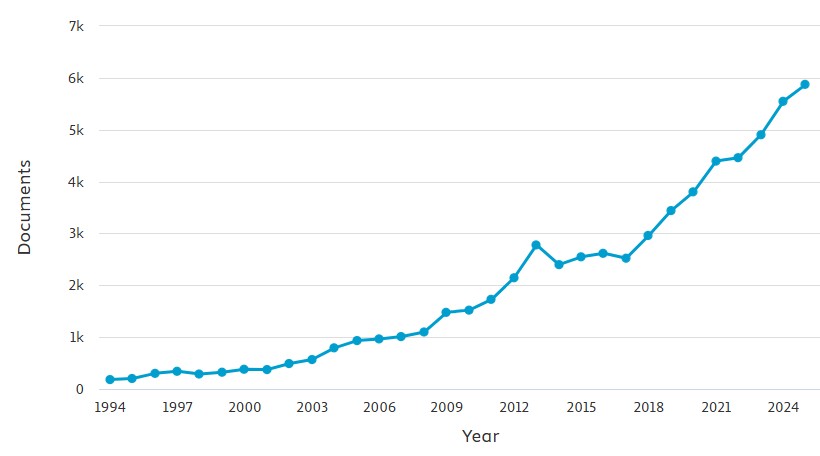
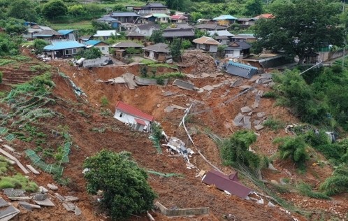
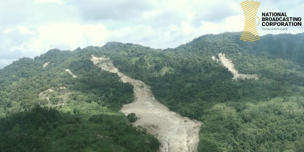
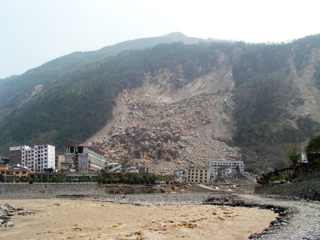
As usual, we are now starting to see the number of reported global fatal landslides increase as the northern hemisphere rainy season commences. In recent days, there have been fatal floods and landslides across several provinces of mainland China as well as landslides on the pilgrimage route to Kederath in northern India.
The global pattern is dominated by the South Asia (southwest / summer) monsoon, so it is interesting at this point to to consider the prospects for this year. The monsoon itself is expected to start in SW India next week, timing that is normal. It will then build over the following month or so.
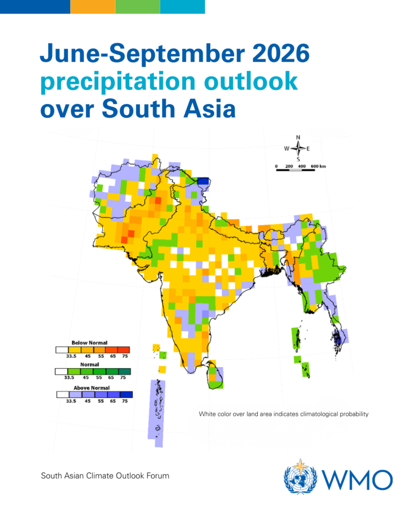
The current forecast for the monsoon itself is that the total rainfall is likely to be below average. This is the WMO forecast:-
The map shows below average precipitation for much of South Asia. The IMD also forecasts below average rainfall.
Of course, in landslide terms we are interested mainly in SW India (Kerala), which has a below average forecast, and the mountainous areas of Pakistan, India, Nepal, Bhutan and Bangladesh. Much of this is also forecast to receive below average precipitation, but note the above average forecast for parts of northern India (Jammu and Kashmir, Himachal Pradesh) and NE India (Sikkim, Arunachal Pradesh). These are some of the most landslide-prone areas of India, suggesting that we may well see substantial landslide challenges in these areas.
The caveat of course is that monsoon-triggered landslides are sensitive to rainfall intensity as well as rainfall magnitude. A below average monsoon can bring intense rainfall events that trigged catastrophic landslides. Unfortunately, the forecasts cannot resolve this issue.
As an aside, the next few days in the European Alps will be interesting. We are about to see a few days of unusually high temperatures, which are likely to drive a wave of snowmelt and permafrost thawing. Given the time of year, this could well trigger extensive rockfall activity.
Unfortunately, by the time I get to Switzerland in nine days the weather is forecast to have reverted to cool drizzle!