When it comes to thriving at high elevation, diminutive plants are always a safe bet. And low-lying vegetation is in fact colonizing higher and higher reaches as the climate changes, new results reveal. Researchers analyzed more than 2 decades’ worth of satellite data and showed that the vegetation line in the Himalayas is moving upward, in some cases by up to several meters per year. These changes have implications for the hydrology of the region and therefore for water resources for the population centers located downstream, the team reported last month in Ecography.
Mountains and People
“If you’re going to understand climate change across the Himalayas, you can’t just look at one location.”
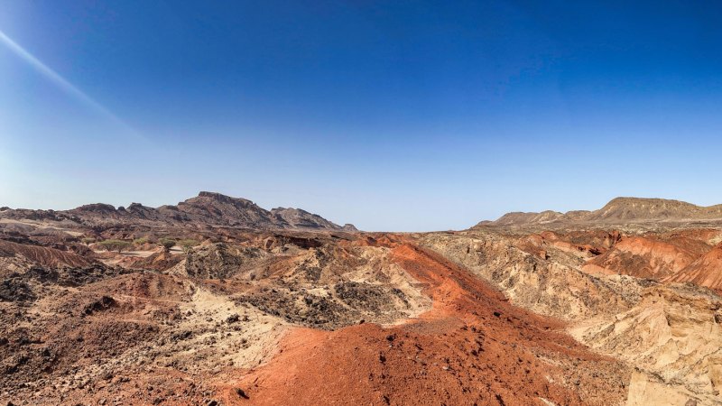
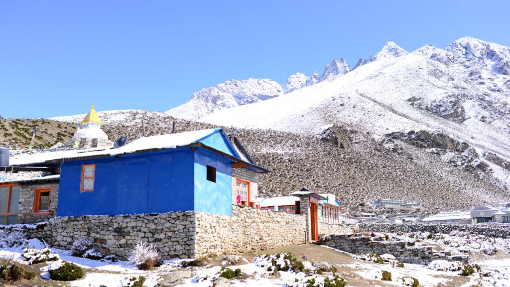
The Himalayas, with their massive stores of frozen water, are part of a region known as the planet’s “Third Pole.” Nearly a billion people rely on water sourced from this area, but the Himalayas aren’t immune to climate change—shifts in temperature and precipitation patterns are causing glaciers to melt and permafrost to thaw, among other effects. “The Himalayan mountains are experiencing a lot of ecosystem changes,” said Ruolin Leng, an Earth scientist who led this new research while at the University of Exeter in the United Kingdom. She currently works at H2Tab, a wellness company.
And while the macroscopic effects of climate change in mountainous regions—the melting of the aforementioned glaciers, for example—have been readily studied, shifts in vegetation are often overlooked, said Leng. That’s a problem because plant cover affects everything from soil moisture levels to water runoff to the albedo of the planet’s surface, all of which have consequences for how water moves through the larger system, she said. “It’s a very important factor in the hydrological system.”
Leng and her colleagues focused on six sites, each roughly 40,000 square kilometers in size, in Bhutan, Nepal, and politically disputed areas farther west. Altogether the locales spanned roughly 15° in longitude (about the width of a U.S. time zone). The choice to analyze several locations along an east-west gradient was deliberate, said Stephan Harrison, a climate scientist also at the University of Exeter and a member of the research team. “The western Himalayas are very different from the eastern Himalayas in terms of climate. If you’re going to understand climate change across the Himalayas, you can’t just look at one location.”
Spotting Vegetation from Space
For each of those sites, the researchers mined satellite observations collected from 1999 to 2022 by the NASA/U.S. Geological Survey Landsat program. The researchers focused on visible and near-infrared observations to calculate a metric known as the normalized difference vegetation index (NDVI). Vegetation tends to reflect relatively little visible light while reflecting much more near-infrared light, and that fact can be exploited to infer the presence of vegetation in remote sensing data, said Karen Anderson, a remote sensing scientist at the Environment and Sustainability Institute at the University of Exeter and a member of the research team.
After masking out pixels too obscured by clouds or snow to correctly analyze, Leng and her colleagues calculated the NDVI for each 30- × 30-meter Landsat pixel within their study regions. The team retained pixels with NDVI levels above a minimum threshold and used those data, combined with topography information, to estimate the maximum elevation that was reliably vegetated each year. All six sites exhibited upward trends in the elevations of their vegetation lines over time, the researchers found. A site in central Nepal straddling the country’s northern border recorded the largest changes: From 1999 to 2022, the elevation of its vegetation line rose from roughly 5,520 meters to 5,670 meters, an increase of just under 7 meters per year on average. The five remaining sites all recorded annual upward shifts ranging from about 1 to 6 meters per year on average.
“Broadly speaking, plants are moving up mountains,” said Anderson. But different regions are responding differently, she added. (And while similar results have been previously noted in the Himalayas, not all plant life everywhere is moving up—recent research has shown that some tree lines are in fact moving downslope.)
A Climatic Culprit?
“People neglect the little plants.”
To investigate the potential drivers behind these changes, the team studied correlations with three climatic parameters: temperature, total precipitation, and snow depth. These data came from the European Centre for Medium-Range Weather Forecasts reanalysis dataset, which has a spatial resolution of roughly 30 kilometers.
Leng and her collaborators found that their site with the fastest-changing vegetation line also recorded the most rapid increase in snow depth over time. These two changes might therefore be linked, but more work is needed, Anderson admitted. “We haven’t addressed the causal link here. We’ve simply looked for patterns.”
There’s also a significant mismatch in the spatial resolution of the team’s meteorological data and their Landsat data, said Trevor Keenan, an ecosystem scientist at the University of California, Berkeley not involved in the research. Such a discrepancy can be particularly problematic in complex landscapes like mountain ranges because the coarse meteorological data might not be capturing the true microclimates that are bound to persist in such places, he said. “With heterogenous terrain and large elevational gradients, you really need that microclimate information.”
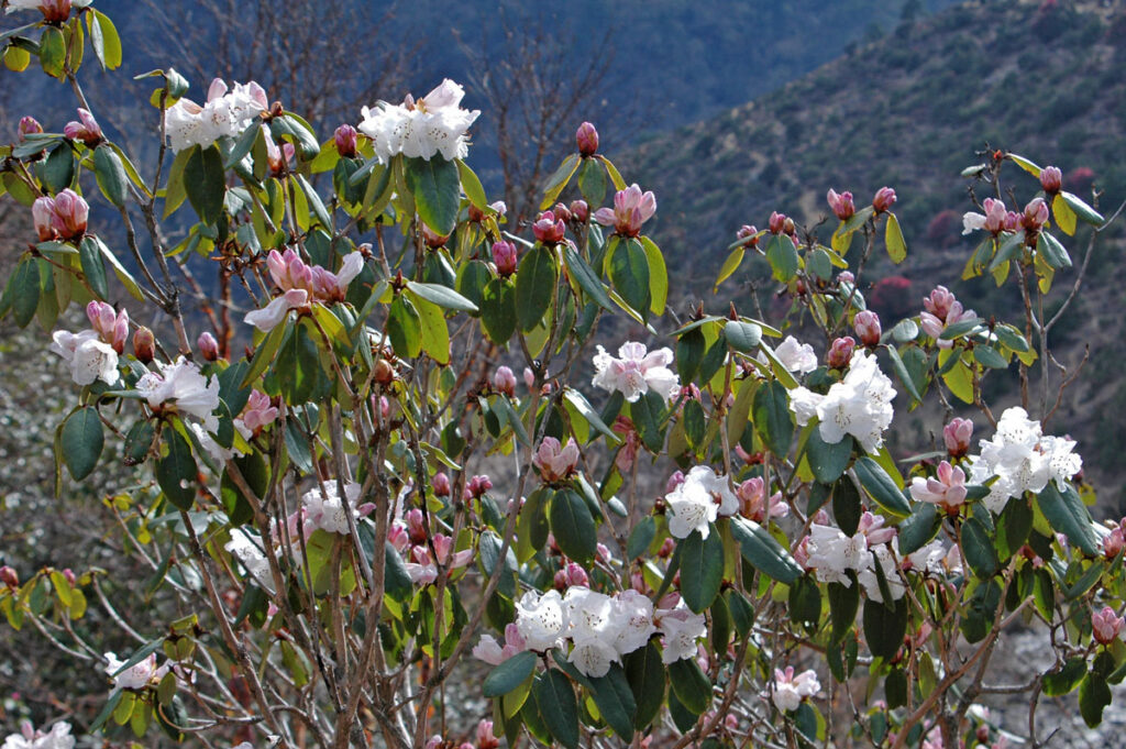
Sagarmatha National Park in Nepal, home to Mount Everest, is also host to rhododendron forests like this one. Credit: Peter Prokosch, CC BY-NC-SA 2.0
Anderson knows the geographical complexity of the Himalayas firsthand—in 2017 and 2022, she and other scientists conducted fieldwork in Nepal that informed this research. Those trips were a special opportunity to see plants like dwarf rhododendron thriving in tough conditions, she said. And it was a good lesson in appreciating some of the most diminutive members of the plant kingdom, Anderson added. “People neglect the little plants.”
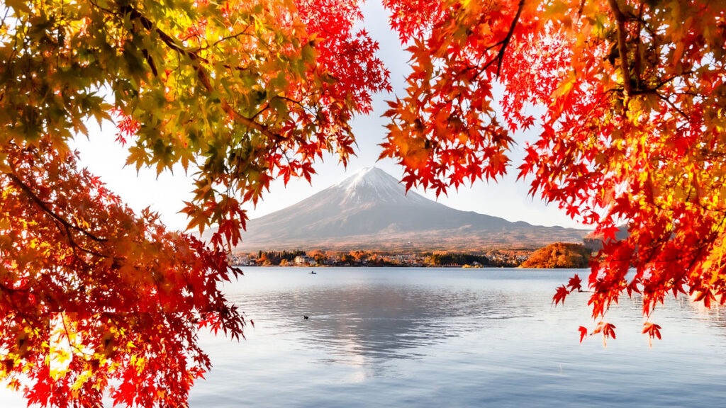
Magma on the move can cause the ground around a volcano to heave in measurable ways. But surface deformation doesn’t always point to an impending eruption—new results show that the terrain around a volcano can also shift during episodes of heavy rainfall. Researchers studying Japan’s Mount Fuji spotted instances of centimeter-level ground deformation tied to intense precipitation. Fortunately, such events can be readily differentiated from deformation caused by magmatic activity, the team reported in Geology.
Keeping an Eye on Volcanoes
Volcanoes around the world, from Kīlauea in the United States to Calbuco in Chile, are outfitted with arrays of sensors. Mount Fuji is no exception—the region around the edifice is equipped with dozens of instruments to detect ground movement, infrasound, and other signs of potential volcanic unrest. All that monitoring is warranted: Shin-Fuji (“Younger Fuji”)—the youngest of Mount Fuji’s three overlapping volcanoes—is currently active.
Shuo Zheng, a hydrological geodesist at Hong Kong Polytechnic University in China, and his colleagues recently mined some of those Mount Fuji data. The team focused on Global Navigation Satellite System (GNSS) observations—otherwise known as GPS data—collected daily from 2017 to 2023.
Rain and Rise
Zheng and his collaborators found several instances in which the two GNSS stations located within 10 kilometers of the summit of Mount Fuji recorded clear signs of uplift. Those signals, reflecting changes of roughly 1–2 centimeters, far exceeded the sensors’ millimeter-level precision. And when the team correlated the timing of that uplift with rain gauge records, they found that the ground often tended to rise almost immediately during periods of heavy precipitation (defined as several tens of millimeters of rain falling per day).
“They can store and transmit groundwater, acting like aquifers.”
There’s likely a physical link behind that correlation, the researchers surmised. The explanation involves the so-called clinkers that cap each of Mount Fuji’s subterranean layers of lava. Clinkers are layers of small rocks that form when the surface of a lava flow rapidly cools, and these structures persist in the shallow subsurface of Mount Fuji. “They can store and transmit groundwater, acting like aquifers,” Zheng said.
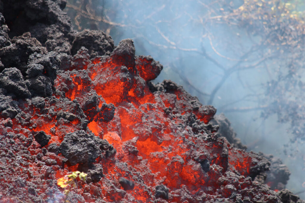
Clinkers, or layers of small rocks that form from cooling lava, can store and transmit water. They may be responsible for the way Mount Fuji’s surface uplifts in response to heavy rainfall. Credit: U.S. Geological Survey
When water fills up the pore space within a clinker, there’s no place for the overlying ground to go but up. It therefore makes sense that GNSS stations located atop old lava layers would exhibit uplift in response to intense rainfall, the team concluded.
When Zheng and his collaborators analyzed data from the nine GNSS stations located between 25 and 40 kilometers from the summit, however, they found that the ground actually tended to subside during periods of heavy precipitation. “There are two different responses,” said Kosuke Heki, a geophysicist and geodesist at Hokkaido University in Japan and a member of the research team. That subsidence is a known effect, and it’s been observed in a variety of locales. The subsidence doesn’t dominate closer to the summit of Mount Fuji because of the presence of the clinker layers there, the team reasoned.
Long-Lasting Magma
“Uplift by rain easily terminates when it stops raining.”
The uplift that the team recorded close to the summit of Mount Fuji tended to last just a day or two; it disappeared when the rainfall ceased. That timing is key for differentiating precipitation-induced uplift from magma-induced uplift. “Uplift by rain easily terminates when it stops raining,” said Heki. “But magma has a much longer timescale. It continues for weeks or months.”
That difference is critical, said Luca Caricchi, a volcanologist at the Université de Genève who was not involved in the research. There’s long been the mindset that ground deformation means that an eruption is imminent, but these new findings show that a heaving volcano doesn’t always mean that magma is on the move, said Caricchi. If the deformation is short-lived, the explanation might just be precipitation, he said. “You don’t need to worry.”
Zheng and his colleagues have looked for a similar effect for other volcanoes in Japan. They didn’t find any conclusive trends when they analyzed a chain of island volcanoes south of Tokyo, however. Perhaps that’s because the clinker layers beneath those edifices are so close to the sea that water efficiently drains out of them, the team hypothesized.